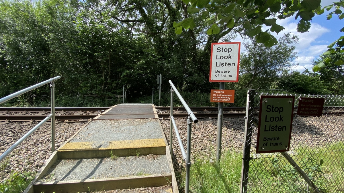
Latitude: 50.8679 / 50°52'4"N
Longitude: -2.8274 / 2°49'38"W
OS Eastings: 341874
OS Northings: 107927
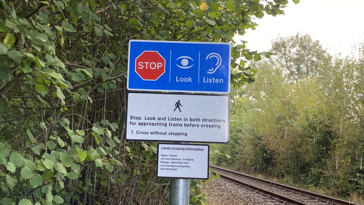
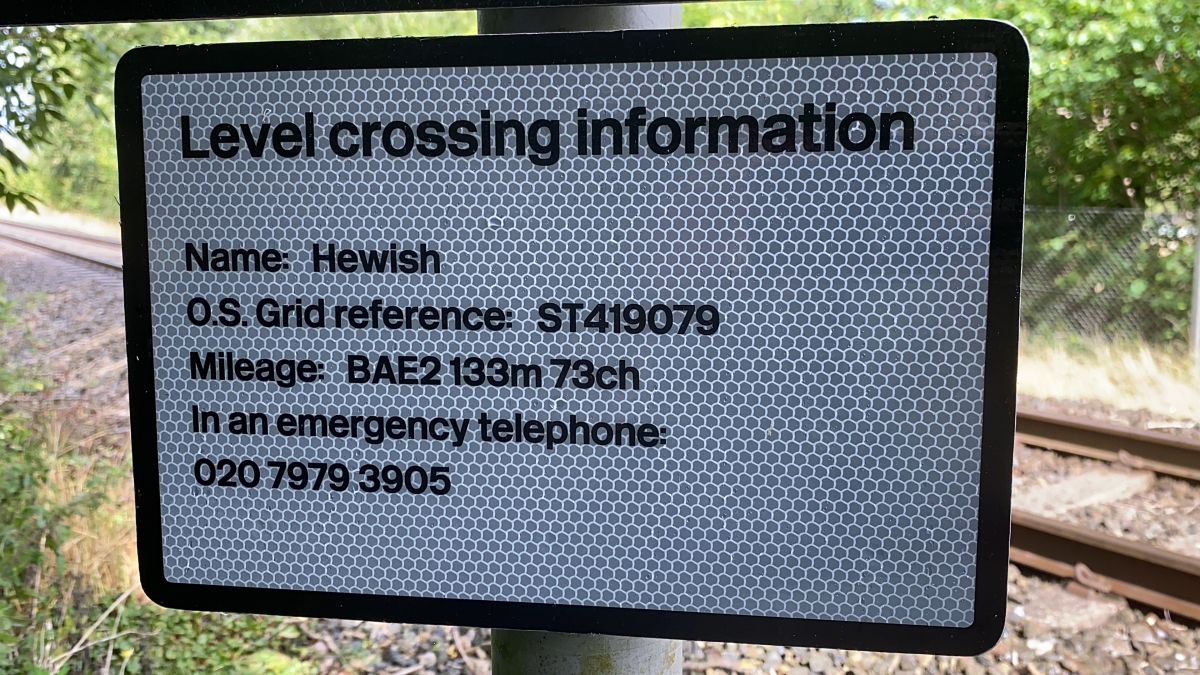
OS Grid: ST418079
Mapcode National: GBR MD.TRHN
Mapcode Global: FRA 46ZT.0B8
Pluscode: 9C2VV59F+53
What3Words: thrilled.qualify.acids
Is the location marker in the wrong place? You can help fix that!