Latitude: 53.4709 / 53°28'15"N
Longitude: -2.9331 / 2°55'59"W
OS Eastings: 338156
OS Northings: 397537
OS Grid: SJ381975
Mapcode National: GBR 7XY9.SH
Mapcode Global: WH871.X0FY
Pluscode: 9C5VF3C8+9P
What3Words: breed.bids.truth
Is the location marker in the wrong place? You can help fix that!
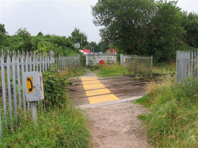
We don't yet have any user-contributed photos of Signal Works Road Level Crossing.